Land use planning
& surveyor missions
Coming from rural areas, we participate and contribute as a field actor to the proper management of public and/or private properties in response to environmental and sustainable challenges in towns and villages.
Our approach is expressed through the classic missions of a surveyor (topographic surveys, inventory and updating of maps, review of requests for delimitation of public and/or private properties, division of goods and/or land, boundary marking, preliminary cadastral surveying of public and/or private domains, reasoned technical advice, appraisal, urban planning permits, …), but also through a specific service related to the development of built spaces and landscapes.
This service, complementary to our classic missions, aims to assist owners and future owners in realizing their projects, notably by promoting housing creation through the rehabilitation and transformation of existing properties, the creation of new housing complexes near services, in an affordable, sustainable way and through gentle densification.
Measurement - topographic survey - laying out - subdivision - boundary marking
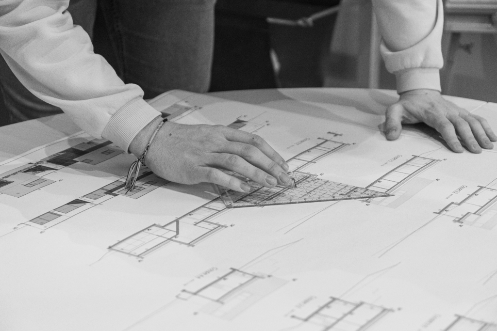
Historically rooted in the DNA of our office, the classic surveying tasks represent a significant part of our activity.
Beyond the direct interaction with the other assignments handled by our team, our surveying work is also carried out in a specific and direct manner.
Equipped with our own high-performance professional equipment, or partnering for the use of more specialized tools, we carry out all types of measuring operations, topographic surveys, and stakeouts for your real estate or land projects with plans and 3D models.
We also take charge of cadastral subdivision projects and the creation of boundary plans, with precise definition of property limits, on-site marking and preliminary cadastral work, as well as the staking out of construction projects or land marking for landscaping developments.
Projects with urban and/or environmental impacts – Rural planning – Urbanization permits
Our team, accompanied by identified experts, supports you in the development of joint projects that have sensitive urban and environmental impacts.
While we handle the design and management of the necessary procedures, particularly for obtaining urban planning permits, our expertise also lies in the feasibility analysis of more complex projects.
Especially active in rural areas, we develop our expertise in these more open territories, in villages, in municipalities where landscape sensitivity is important and where the challenges between heritage preservation, combating urban sprawl, and urban exodus are significant..
Thanks to our integrated approach, we ensure to reconcile your objectives with regulatory and environmental requirements, to create harmonious, sustainable projects perfectly integrated into their territorial context.
Landscape developments
We design and create landscape developments that enhance your spaces while respecting the environmental context.
Considering the exterior and interior of the living space as a whole, integrating the built environment with the unbuilt space, shaping the landscape while respecting it, or simply interacting with it to preserve it, are all reflections we undertake in the projects we carry out.
Together with landscape architects and specialized partners, our team creates custom solutions ranging from simple private garden layouts to the transformation of public spaces or larger landscape infrastructures.